About us
A geoscience practice built on field work.
GeoDiscovery Geosciences is a team of geologists and applied geophysicists working across water, land, minerals and infrastructure. We combine remote sensing, in-field measurement and modern interpretation to help our clients make better decisions about the ground beneath their projects.
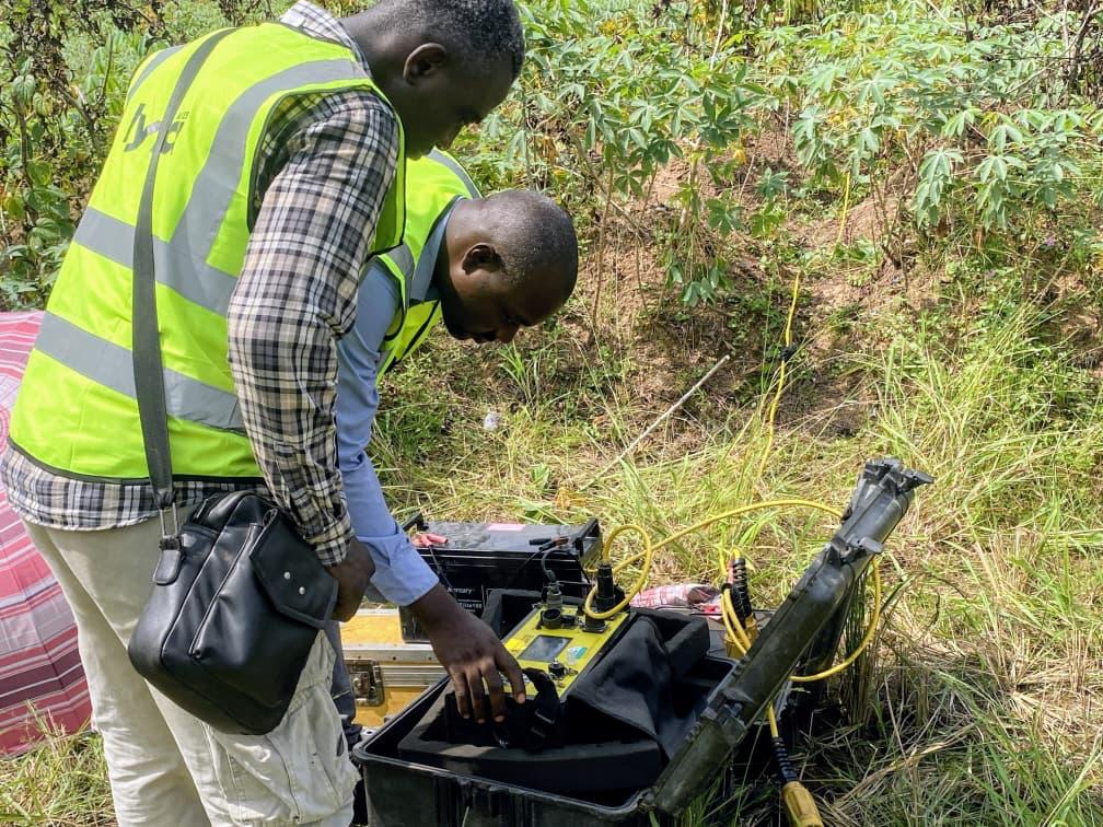
Our approach
Rigorous science, delivered on schedule.
We were founded to bring academic-grade methodology to commercial earth-science work — with the same deadlines, budgets and communication standards our clients expect from any professional partner.
Every engagement starts with a clear question: where should the borehole go, is this slope safe, does this licence justify a drill programme, what does this survey actually mean? Our reports answer that question directly, and stand up to review.
What we believe
Values.
Field first
Every model gets tested against outcrop, core and instrument. We work where the data is.
Integrated
Geology, geophysics, geochemistry, GIS — one team, one interpretation.
Honest reporting
We tell clients what the data supports, and what it doesn't. No overselling risk.
Long-view partners
Most of our work is repeat work. We stay engaged from siting through operations.
Capabilities
Everything we do, in one place.
Borehole & Groundwater
Siting, VES surveys, drilling supervision and aquifer testing for reliable water supply.
Land & Cadastral Survey
GNSS control, drone photogrammetry, contour mapping and boundary reconciliation.
Mineral Exploration
Remote sensing, mapping, geochemistry and target generation on greenfield and brownfield licences.
Geotechnical Studies
Foundation investigations, slope stability and site characterisation for buildings and infrastructure.
Geophysical Imaging
2D/3D resistivity, VES, seismic refraction and integrated interpretation.
GIS & Remote Sensing
Spatial analysis, satellite and drone-derived products for planning and monitoring.