Geoscience · Since inception
Reading the earth.Guiding what's built on it.
A team of geologists and applied geophysicists delivering borehole, land survey, mineral exploration and geotechnical services across the region.
What we do
Field-tested services across the full earth-science stack.
Borehole & Groundwater
Siting, VES surveys, drilling supervision and aquifer testing for reliable water supply.
Land & Cadastral Survey
GNSS control, drone photogrammetry, contour mapping and boundary reconciliation.
Mineral Exploration
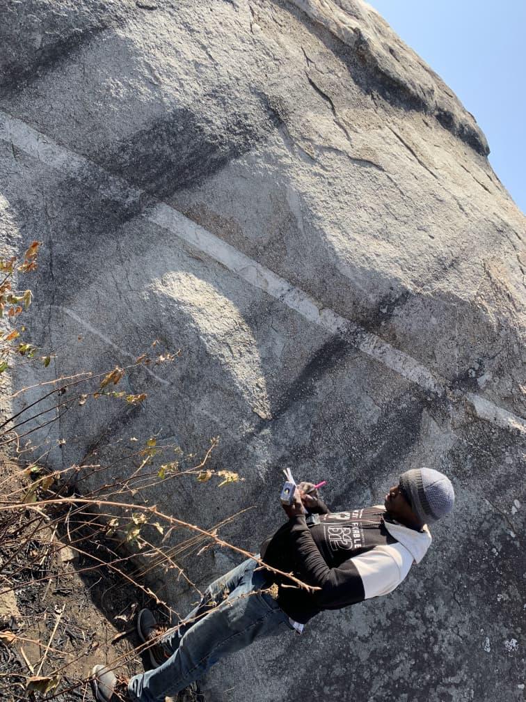
Remote sensing, mapping, geochemistry and target generation on greenfield and brownfield licences.
Geotechnical Studies
Foundation investigations, slope stability and site characterisation for buildings and infrastructure.
Geophysical Imaging
2D/3D resistivity, VES, seismic refraction and integrated interpretation.
GIS & Remote Sensing
Spatial analysis, satellite and drone-derived products for planning and monitoring.
Selected projects
Recent work.
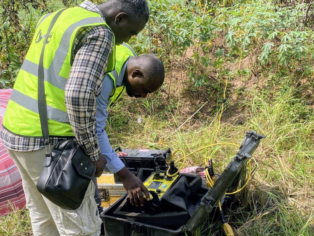
In the field
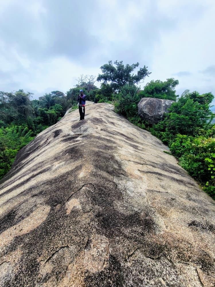
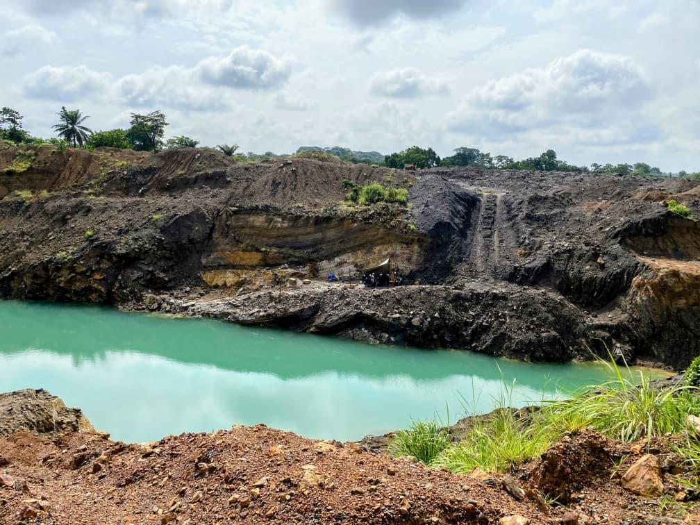
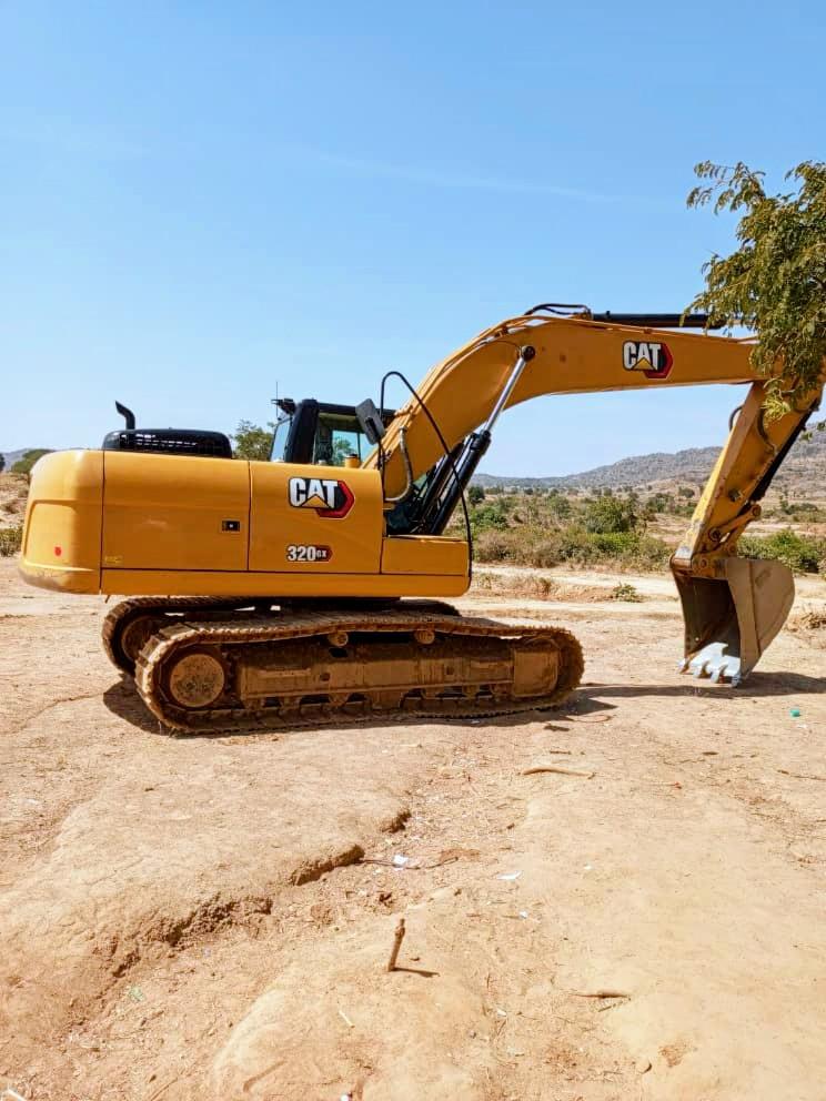
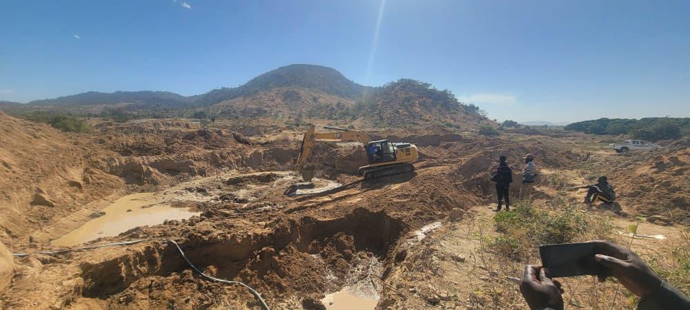
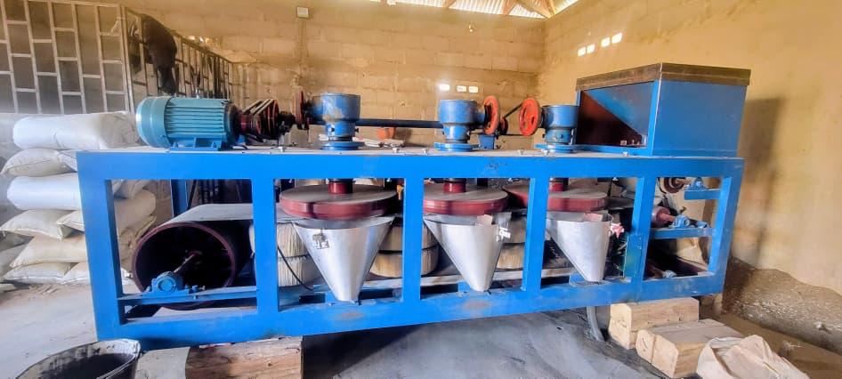
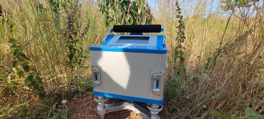
Real ground. Real instruments. Real data.
The team
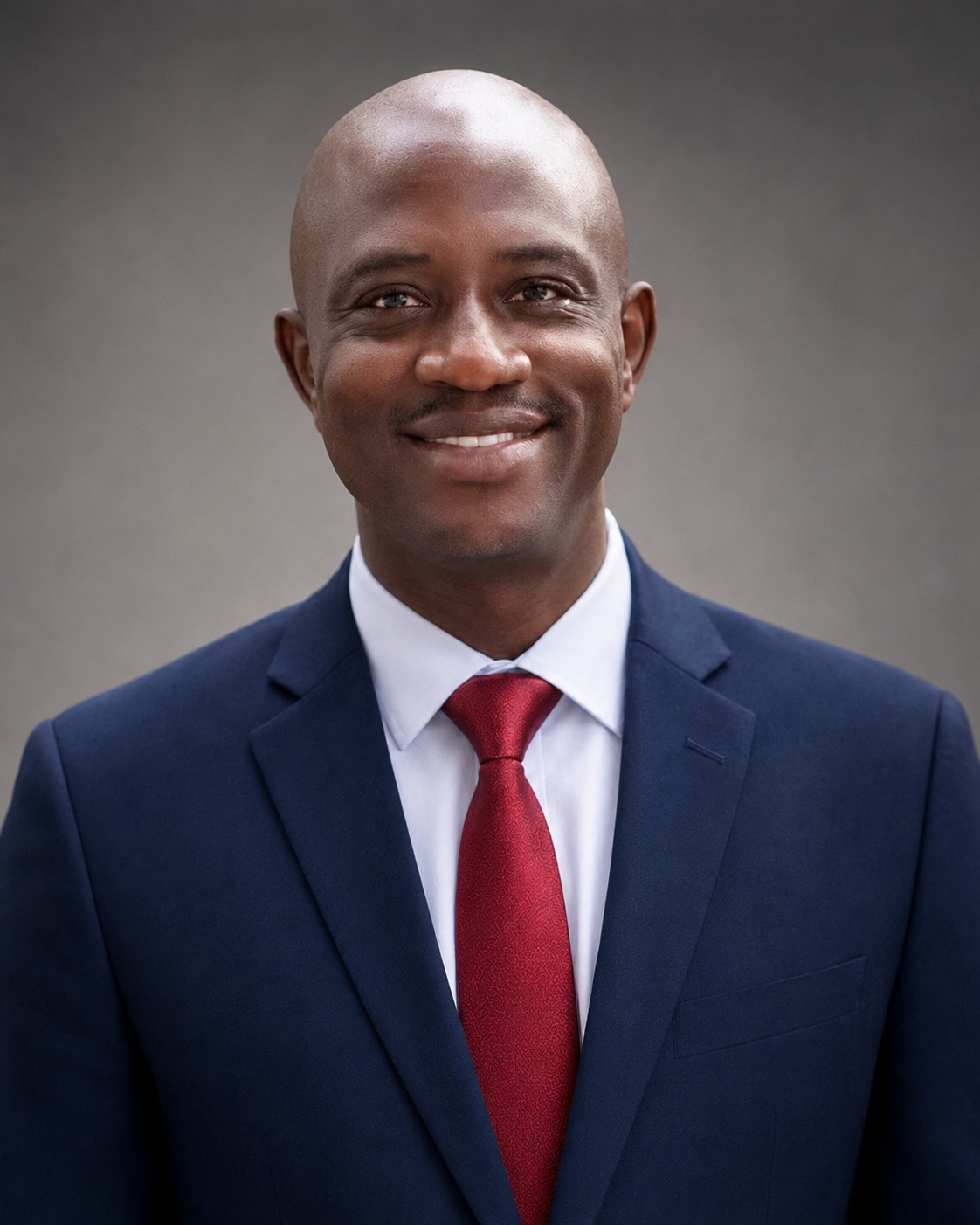
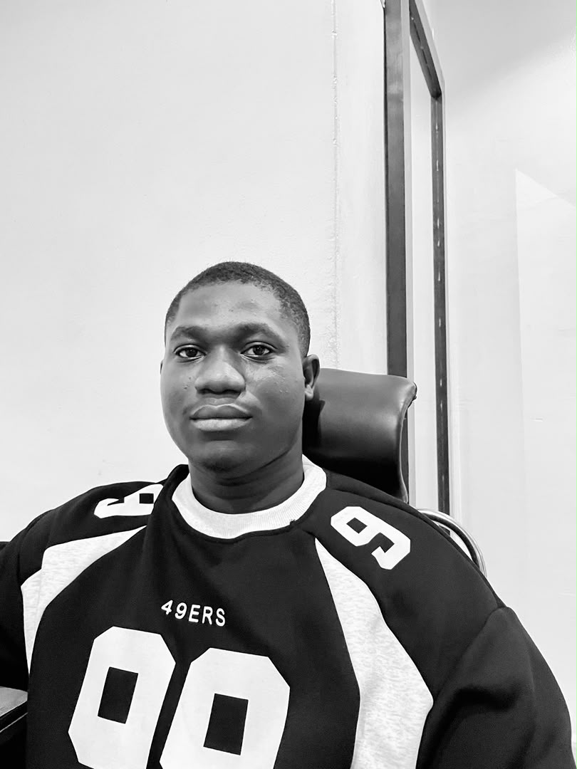
Geologists who show up on site.
From remote-sensing desks to boots-on-outcrop mapping, our team blends academic depth with hands-on field practice.
Meet the team →